Wednesday, November 21, 2007

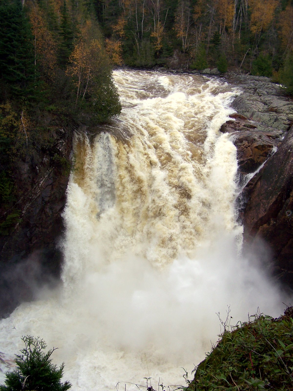
Aguasabon Falls

I did a bit of hiking around to get some better views of the river. One thing that I'd love to do someday is hike the Casque-Isles Trail that runs along the coast here for 53 km between Rossport and Terrace Bay.
Posted by Picasa

Labels:

Next stop - The Impressive Aguasabon Falls, Terrace Bay-Schrieber

I'm surprised that I'd never stopped here before, nevermind that I'd never head of them. I'd have to say that after Kakabeka these were one of the most impressive falls on my tour as the Aguasabon river plunges headlong into Lake Superior. There is actually a smaller set of falls about 100 m downstream where a side channel goes over the cliff. The River is used for hydroelectric power and as you drive towards Terrace Bay-Shreiber from Thunder Bay you pass an impressive water tower that looks like its in Lake superior, but probably is on the shore. One interesting fact that I learned from both my guides is that the water in this river has largely been diverted (at an average rate of 40,000 L/s - North of Superior Roadside Geology of Ontario) from LongLac. Previously, this water would have flowed into the Albany River, past Kashechewan to James Bay. The diversion was created in 1939. The height of the falls is 30 m and the rock is Granodiorite (Roadside Geology).
Posted by Picasa

Labels:

Tuesday, November 20, 2007

Rainbow Falls Map


View Larger Map

and here is where it is.

Labels:

Rainbow Falls Shots


It was pretty gloomy... but I think you can get the idea that Rainbow falls is pretty wild. The last photo shows the lake above the falls... The falls are actually the outlet of the lake.
Posted by Picasa

Labels:

From Placid to Roiling


Talking with a couple at some other tourist stop, I heard Rainbow Falls described as being as calm and smooth as oil and then transforming suddenly into a roiling, boiling mess. The photo above captures the oily smooth part of that... I'll post a couple more of the falls in subsequent posts.

I didn't make Rainbow falls on the way up. The gate closes at 3 pm during the fall, and its a long hike in. In fact, I just barely cleared the gate on the way home. I am glad I did make it. It was lightly raining, and I literally ran down the boardwalk along the falls hoping that I didn't slip and fall down the myriad of stairs. (I was careful near the falls - since they looked like they'd do worse to me than a fall down wet stairs would.) Amusingly, after surviving wet slippery stairs and wet rocks near the falls, I slipped and twisted my knee only about 1 step from the parking lot on my way back to the car. The damage wasn't severe - but enough to leave me limping and cursing on my way to the car, nervously glancing at my watch, fearing that I'd be locked in.
Posted by Picasa

Labels:

Monday, November 19, 2007

Railway by Kama Bay


View Larger Map

Okay. The picture highlights the railway which follows the superior shore. What it took to put it there I believe was proof that they were tenacious in the the railroad days. More people were killed building the railway than Canadian Soldiers have died in Afghanistan. Its good to see that the safety record of the railway has improved considerably and that people care about individual deaths. Perhaps we are becoming more civilized.

Oh yes.. the map shows a sat photo of the Kama Bay area. You can see the point of land that I've photographed below.
Posted by Picasa

Labels:

Close Up of Kama Bay Cuestas


Zooming in you can see these 3 Cuestas. A cuesta is a mesa that is tilted so that it has a steep cliff on one end and then a softer grade on the other side.
Posted by Picasa

Labels:

Kama Bay, from the Jackpine River Lookout


Here it is...
Posted by Picasa

Labels:

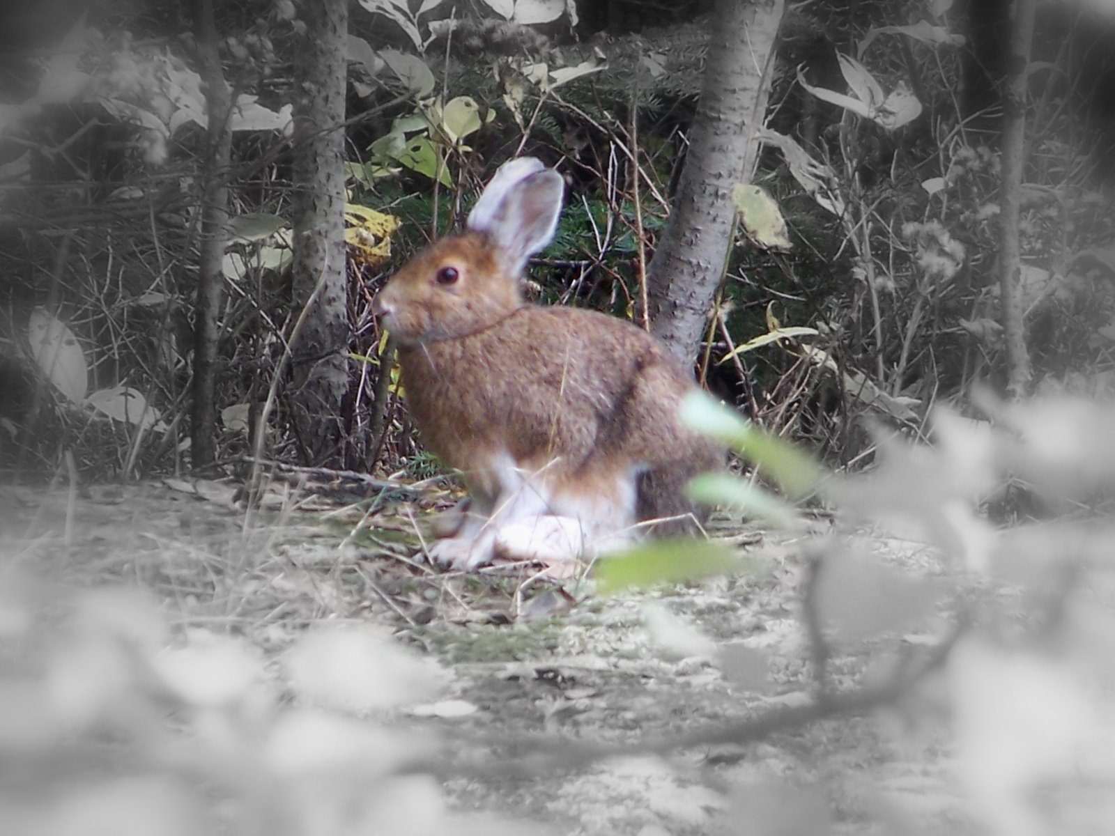
Lookout Hare


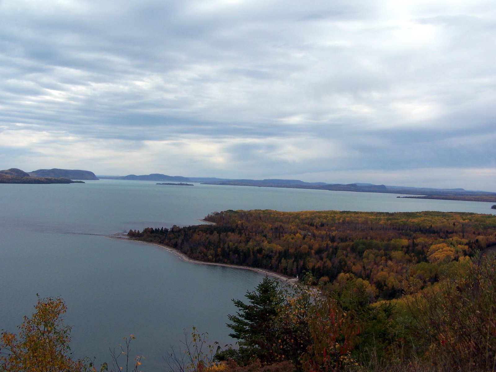
I'm afraid after a month of time between doing it and writing this that I can't remember exactly what lookout this picture was taken from. Checking with my travel guide... it appears to be the Jackpine River Lookout over Kama Bay. I'll post the picture of Kama Bay next. Geologically speaking I'm nearing the end of the Cuesta/Mesa lands and heading into a land of pink granite.
Posted by Picasa

Labels:

Nipigon Lookout


Nipigon has several lookouts over Lake Superior built on a series of Terrace beaches which were abandoned as the water in Lake Superior and its predacessors receded over time.
Posted by Picasa

Labels:

Nipigon Marina


After Hurkett Cove, I stopped at the Marina in Nipigon and ate lunch. The bridge you are looking at is the old CPR bridge spurred on by the need to move troops to combat the rebellion in Manitoba back in the day. They didn't get it built when they promised and thus the soliders had to slog accross a mess of slushy water to get to the other side. Wooden tressle bridges still rock though.
Posted by Picasa

Labels:

Sunday, November 18, 2007

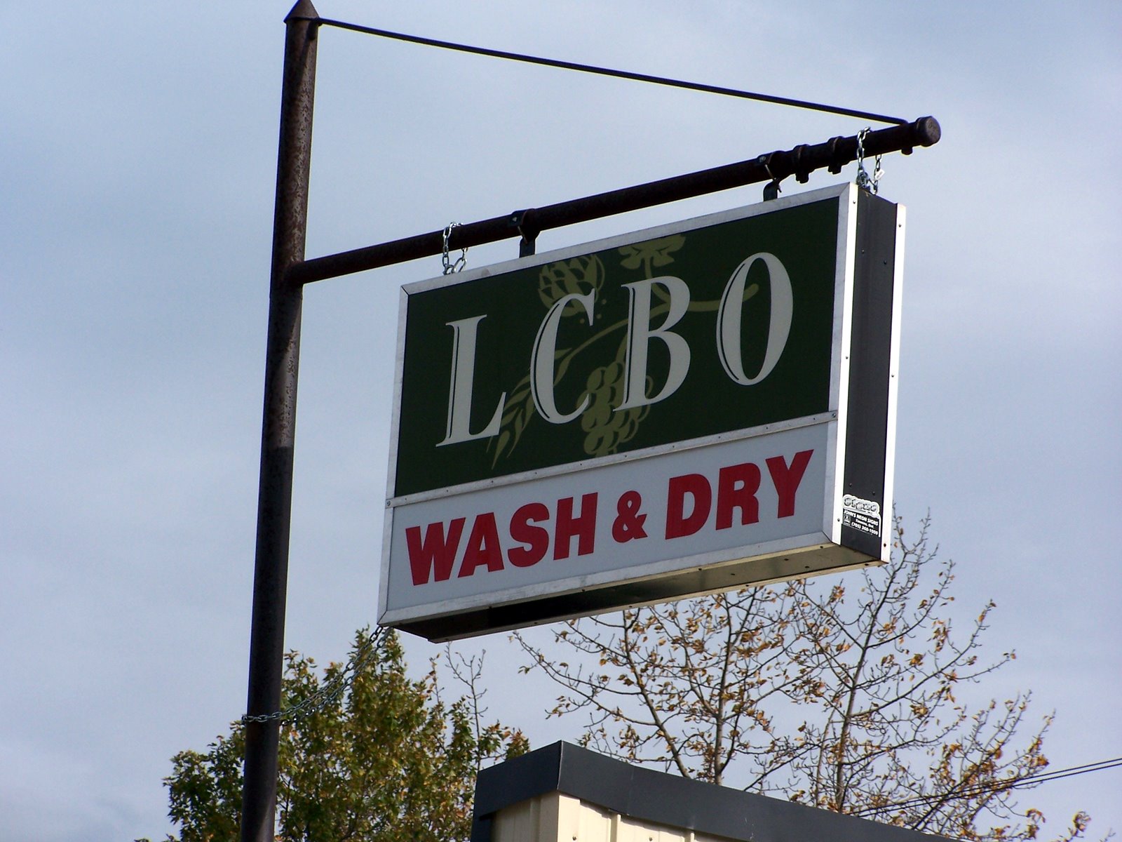
Nipigon LCBO


I'm pretty sure that I took this while touring Nipigon. I went down to the Marina and did a bit of hiking there. I loved this sign... wet (i.e. place that sells alcohol) and dry... all in one building.


View Larger Map

I think the above should be a map of hurkett cove... lets publish and see
Posted by Picasa

Labels:

Fortunately Fungi is More Obliging that Ducks


Hoofing it back to the car at Hurkett Cove...
Posted by Picasa

Labels:

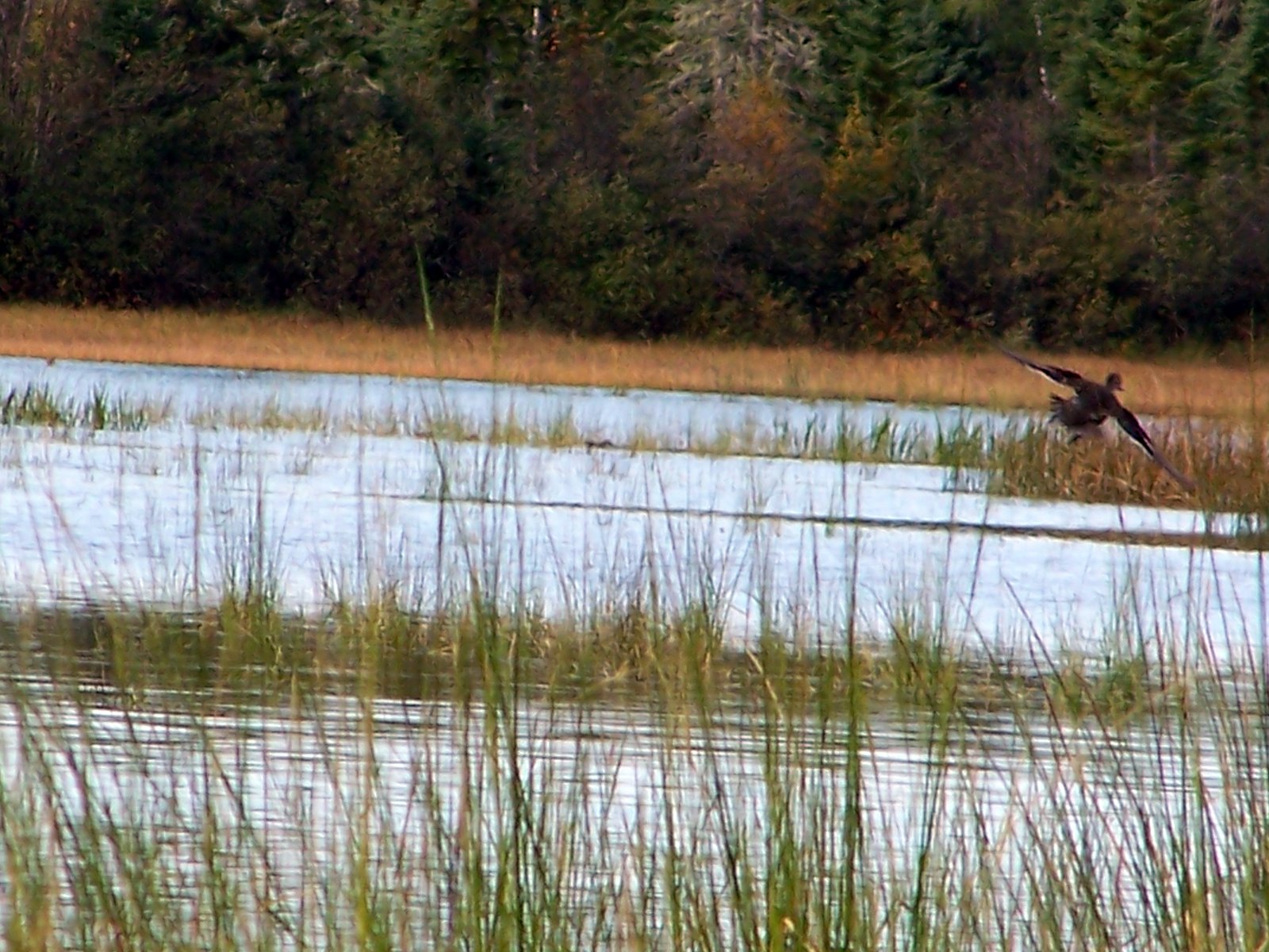
Fleeing Duck


I think this is the only shot I got of a duck and it was moving faster than me and my camera could.... I did try for a fair time to get a shot, but my feet were getting pretty damp standing on the edge of the swamp and the birds were not forgetting I was there any time soon... so off I hike for my next adventure
Posted by Picasa

Labels:

Hurkett Cove Wetland


The wetland surprised me as I stumbled out of the bush and surprised all the ducks into hiding, but there are actually quite a few here.
Posted by Picasa

Labels:

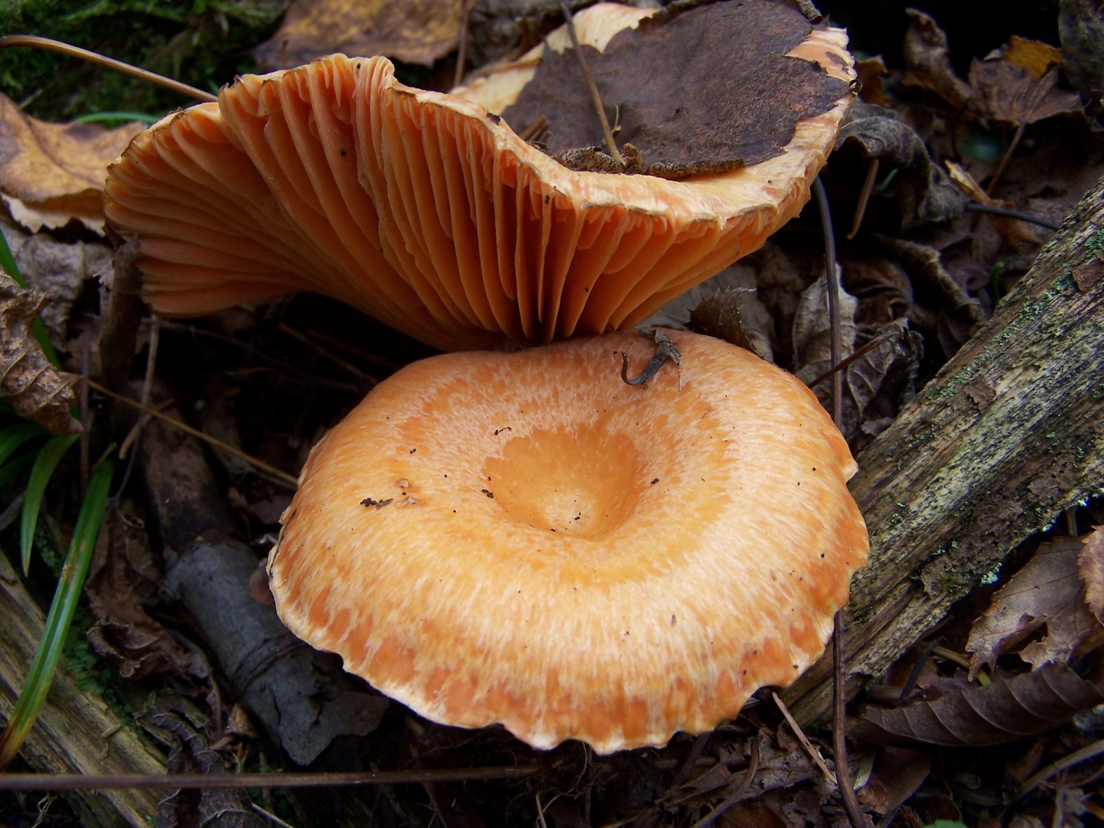
Hurkett Cove Fungi

Hurkett Cove


I'm a bit sorry that I got distracted from finishing my trip journal before the freshness of the memories had faded from my mind. Hurkett Cove is a small Lakehead Conservation Area in a shallow bay that provides fantastic wetland habitat to a whole whack of migrating birds. I drove down a small gravel road to the pavillion and parking lot, then too a short hike out to the point. On the far side of the point is an awesome marsh that was full of ducks of numerous persausions. There were also so neat fungi.
Posted by Picasa

Labels:

More Dorian Gas Station Pics

More Dorian Gas Station Pics

The Dorian Esso


I'd planned to hang on until Marathon or White River for Gas - I had half a tank and I can get 600 km or more on a tank. But this gas station was so cool I had to stop and take some pictures. Each side had enormous murals of Canadian Wildlife Painted on it. I'm glad I did too because gas was cheaper there than in White River and by the time I ate the station was closing up and the people were cranky at me for no reason. The people at the Dorian Gas Station were great and I had a good chat with the cashier and one of the local folk about how amazing the scenary was up north. Northern folk are good.

I'll put up a few more of the other sides. They were beautiful.
Posted by Picasa

Labels:

Treesures of the Milton Outlier


Alright, this is the last picture posted of today. I should pick back up and finish the pictures from my trip back from Thunder Bay.
Posted by Picasa

Winter Stalking

Posted by Picasa

Curl of Birch Bark


Birch conks are cool.... but I guess the camera was more interested in the bark than the bracket fungi. Which worked out in the end.
Posted by Picasa

Twilleaves

Posted by Picasa

Rattlesnake Sunset

Decided that today called for a hike at Rattlesnake... it was cool. We started hiking about 3:30 and left about 5:00 - so the sun was setting while we were hiking around and taking pictures. Fun light!
Posted by Picasa